The Pyrenees host one of Europe’s richest lake districts, with slightly more than one thousand mountain lakes larger than 0.5 ha. Roughly half of these are found on the northern slopes and half on the southern slopes of the range, offering a natural contrast between different catchment exposures. The region’s geology is equally diverse, with lakes formed on a variety of bedrocks, including granite, slate, schist, limestone, and even volcanic substrates.
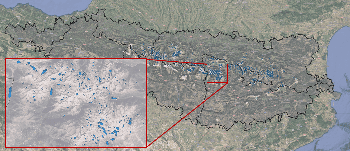
Climatically, the Pyrenees lie in a transition zone between Atlantic and Mediterranean influences. Western lakes experience a stronger Atlantic regime, while those in the east are shaped by drier and warmer Mediterranean conditions. The lakes are also distributed along a pronounced altitudinal gradient, from about 1,600 m to nearly 3,000 m above sea level. Together, these gradients of exposure, lithology, climate, and altitude create a remarkable diversity in the physical, chemical, and biological characteristics of the lakes.
The lake district concept highlights the value of viewing these ecosystems not as isolated water bodies but as an interconnected mosaic across a mountain landscape. In the Pyrenees, this perspective is especially powerful: it allows researchers to disentangle how natural and anthropogenic gradients shape the functioning of high mountain ecosystems. Several surveys, carried out since 1987 at decadal intervals, have provided a synoptic view of these lakes and revealed temporal trends linked to climate change, atmospheric deposition, and other regional drivers. This makes the Pyrenean Lake District a key reference site for understanding ecological processes in alpine environments worldwide.
The LOOP’s data base holds data from more than 500 Pyrenean lakes. Access to the geoportal to get more information!