
Sampling of the Cap de la Ribereta peatland - September 2017
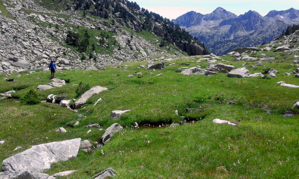
The Cap de la Ribereta peatland, in the Aigüestortes National Park, has been included in the REPLIM network of monitored peatlands. It is located at an altitude of 2,300 m asl, and covers an area of 1.6 ha. It is a small high mountain Sphagnum peatland, with a thickness of around 60 cm (including peat and the living moss), and crossed by a small meandering stream.
 |
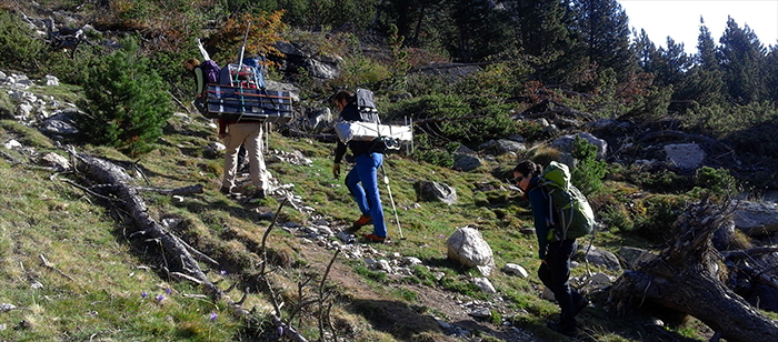
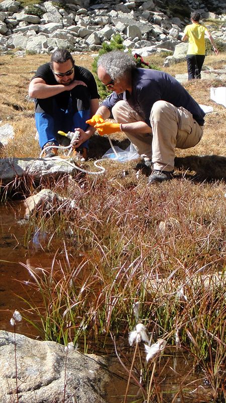
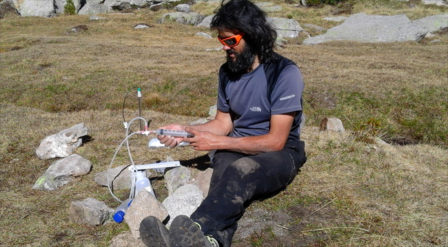
This peatland is being studied within the TRANSFER project. We have installed several piezometers to monitor the water table level in the peatland every 10 min using pressure sensors and data-loggers. We take samples periodically from the wells and the adjacent stream reach to determine the exchange of solutes between the peatland and the running waters
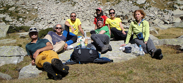
In September 2017 members from ECOLAB from Toulouse, the Université de Pau et du Pays de l’Adour (UPPA) and the LOOP joined efforts to carry out the first REPLIM sampling in the peatland.
 |
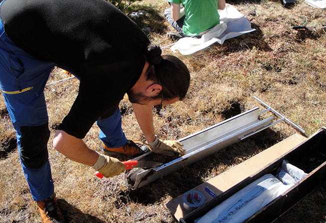
Sampling consisted in taking two peat-cores using a box-type corer. The sampled peat-cores were 60 cm long. The cores were taken on the Sphagnum covered areas, called ombrotrophic because these areas are only irrigated by atmospheric water.
 |
Peatlands and peatbogs are natural environmental archives and once they are analyzed in the laboratory, they will provide valuable information about the evolution of the ecosystem and its adaptation to environmental changes and human impacts since the last 1000 years.
 |
 |
 |
Peat and water samples were also collected to study the influence of microbiological biodiversity on the biogeochemical processes taking place within the peatland, with a view to understand their role on the general functioning of these ecosystems on the Climate Change context.