

Click on the link below to access data from our automatic weather
stations in the Aigüestortes i Estany de Sant Maurici National Park :
Redon 2,240 m asl. Daily data since 1996
Llebreta 1,600 m asl. Daily data since 2005
Contraix 2,600 m asl. Daily data since 2010
Data Use Policy
1. Use our data freely. All meteorological data released to the public here may be freely copied, distributed, edited, remixed, and built upon under the condition that you provide acknowledgement as described below.
2. Give proper acknowledgement. Publications, models and data products that make use of these data sets must include proper acknowledgement, including citing data sets in a similar way to citing a journal article (see http://www.datacite.org/whycitedata). The following acknowledgment should accompany any publication or citation of these data: Meteorological data were provided by the Limnological Observatory of the Pyrenees - LOOP, a member of the Long Term Ecological Research node LTER-Aigüestortes.
3. Let us know how you will use the data. The LOOP and LTER-Aigüestortes would appreciate hearing of any plans to use the data set. Consider consultation or collaboration with data set creators.
4. Although efforts have been made to ensure that these data are of the highest quality, the possibility of errors exists. Plase notify the data manager of any errors at This email address is being protected from spambots. You need JavaScript enabled to view it.
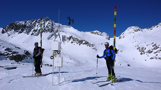
Contraix AWS in winter

Installing the new tower for Llebreta AWS, July 2016