
New monitored REPLIM lakes
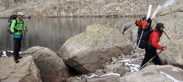
Five lakes already included in the LOOP observation network are now also part of the REPLIM network, and are monitored more intensively. For this purpose, during the summer 2017 we have deployed in each of these lakes a thermistor chain, a sediment trap and a water level recorder. The five lakes are located at different altitudes, between 1,600 and 2,600 m asl.
 |
The outlet of these lakes have been sampled since 2004. Two of them are sampled frequently, with a periodicity that has changed from weekly to monthly. The other three are sampled three times a year: during the last stage of the snowmelt (end of May), in the driest period (mid August) and during the autumn rains season (end of October). During the rest of the year the lakes remain frozen. Now, in addition to this, the water column of the lakes will be sampled. In October 2017 we have carried out a first detailed sampling of the water column, including alkalinity, pH, conductivity, major cations and anions, nutrients, DIC and DOC, dissolved oxygen, and photosynthetic pigments analyses. The lakes are:
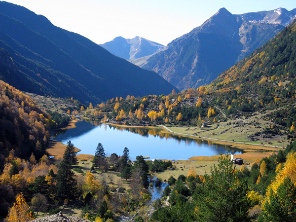 |
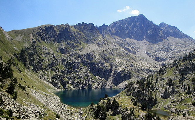
Estany de Llebreta. It is located at 1,620 m asl. Its surface area is 4.9 ha, and its perimeter is 1.37 km. The maximum depth is 12 m. It is one of the more frequently sampled lakes. Here, we have previously carried more detailed studies, using stable and radioactive natural isotopes as tracers of the most relevant biogeochemical processes. We have also retrieved sediment cores of several meters from the lake in previous projects. These cores have been used to reconstruct the environmental history of the lakes and the changes in the plant cover and the landscape surrounding the lake. In the vicinities of the lake Llebreta, we installed an automatic weather station (AWS) in 2004. Meteorological data can be accessed in this link. Together with the AWS, we have also deployed precipitation samplers in order to determine the deposition of major solutes, nutrients and contaminants and observe their time trends, assess the effects on the lake and determine its relationship with climatic and anthropogenic causes.
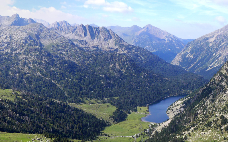 |
Estany Llong. It is located at 2,000 m asl. It has a surface of 7.3 ha, and a perimeter of 1.98 km. Its maximum depth is 12 m. Like Estany Llebreta, the two inlets and the outlet lake Llong are sampled monthly (in former times, the sampling frequency has been weekly and fortnightly). It was also included in the isotopes cycling study carried out in Llebreta.
Both lakes hold an important community of submerged plants. They can be seen (among those from other lakes) in this clip.
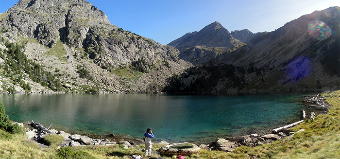 |
Estany de Sarradé. It is located at an altitude of 2,122 m asl. Its surface area is 4.3 ha, its perimeter is 0.79 km, and its maximum depth is 24 m.
 |
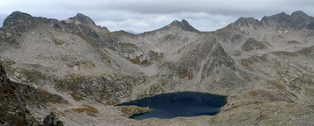
Estany Nere. It is located at 2,320 m asl. The surface area is 4.3 ha, the perimeter is 0.85 km, and the maximum depth is 34 m.
 |
Estany de Contraix. . It is located at an altitude of 2,580 m. Its surface area is 9.6 ha, and its perimeter is 1.27 km. The maximum depth is 56 m. Near the shore of the lake we installed in 2010 an AWS, whose data can be accessed here.