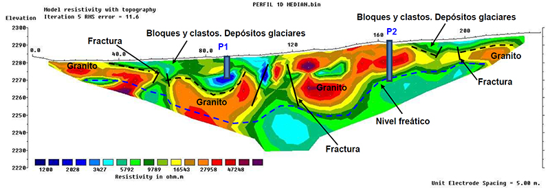
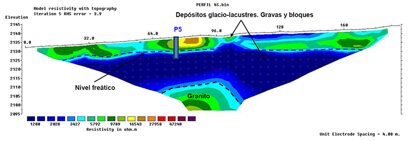
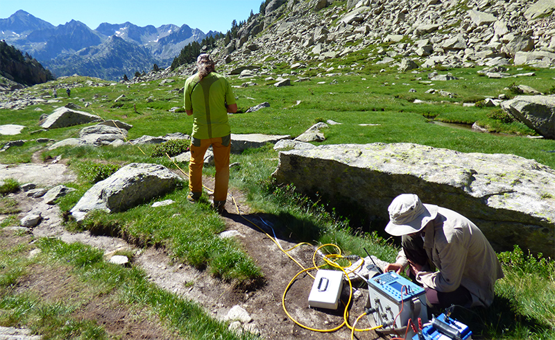
Geophysical techniques provide virtual images of the subsoil that allow us to infer the structure of the geological materials and assess the presence of underground water. In the TRANSFER project, we have counted on the expertise and cooperation of the group on Environmental and Economic Geology and Hydrology (GEAH) of the University of Barcelona and B&B Geòlegs consulting to obtain profiles of the terrain by Electrical Resistivity Tomography (ERT).
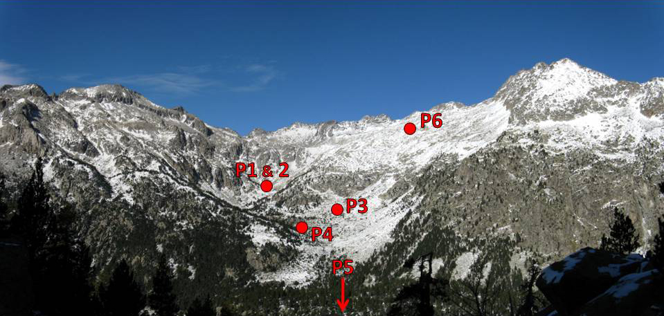
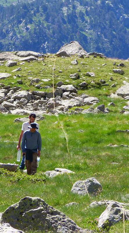
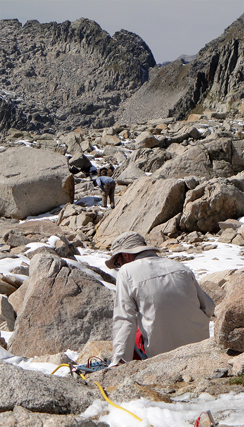
We have carried out these measurements in several areas in the Contraix catchment, from 2,000 to 2,700 m of elevation. The purpose was to search for deep aquifers. The ERT involves the insertion of electrodes 15-20 cm in the ground along a transect to introduce an electrical current in the terrain, and to measure the conductance (or its inverse, the resistivity) between electrodes. The resistivity depends mainly on the water content and the porosity of the materials. According to the distribution of resistivity, one can infer the structure of the subsoil and the presence of water.
In July and September 2017 we have carried out two field campaigns to take ERT profiles. The results show that underground water is abundant in the catchment, even in high elevation areas. A highly fractured granitic bedrock holds important aquifers with a freatic level at 20-30 m below the surface. In the bottom of the valley, glacial and lacustrine deposits act as underground water storages.