Summer and autumn REPLIM field work - 2017
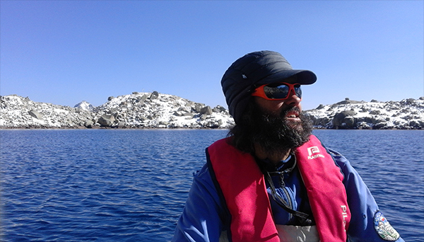
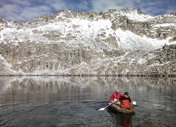
Last summer and autumn we have had a busy time doing field work in the lakes of the REPLIM network.
|
|
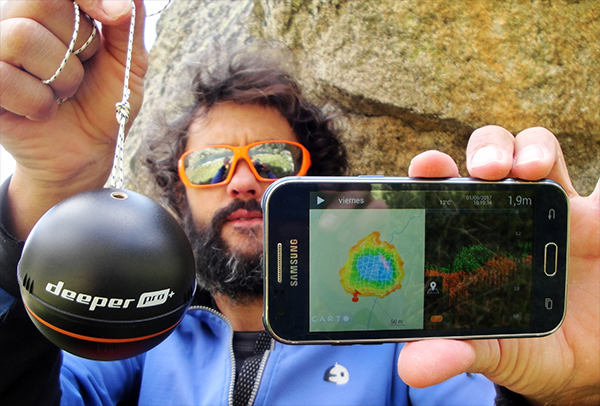
We have mapped the bottom of the lakes using an ultra light system: a Deeper PRO+ ecosounder with wifi connection to a smartphone for recording geo-referenced depth data. A bathymetric map is drawn in real time.
|
|
|
|
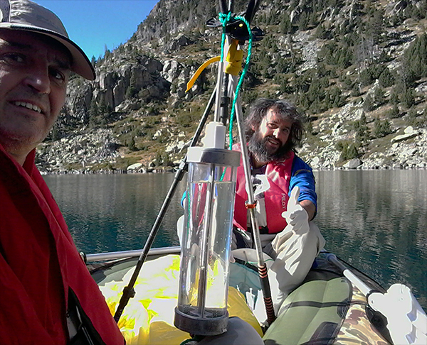
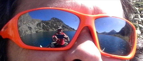
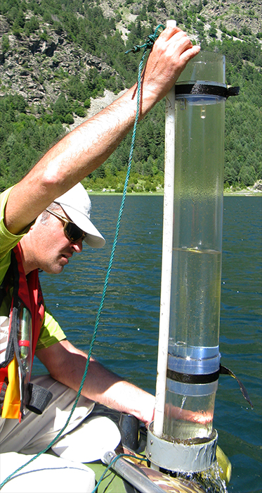
We use a Ruttner sampler to take samples of the water column from an inflatable boat.
|
|
|
|
|
|
|
|
|
|
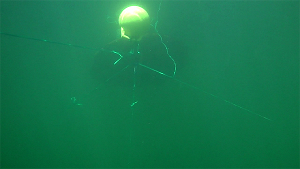
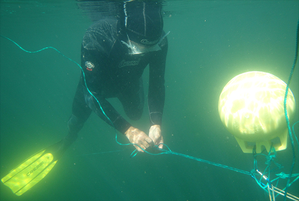
In each lake, we have installed buoys from which the sediment traps and thermistor chains are hanging. The buoys are 0.5 m underwater in order to not to get caught within the ice cover in winter.
|
|
|
|